History

Support Provided By
Red trolley cars are parked outside of the North Hollywood depot, a yellow paneled building with dark brown trim and a large sign across the roof that reads "Southern Pacific - Pacific Electric Station." Pedestrians approach the depot on the sidewalk.
Though the last of Los Angeles' famed Red Cars officially retired in 1961, there is still so much Pacific Electric history that can be found in the Southern California landscape — in expected and unexpected places.
A 1925 map of the Los Angeles Pacific Electric Network. The map covers the Los Angeles area and parts of Orange County and the Inland Empire, stretching as far as Santa Ana and Ontario. The Los Angeles Pacific Electric Network is marked in red and blue lines that spread across the region.
Los Angeles is famous for its freeways and traffic jams, but the metropolis actually began as a railtown — and looks like it may become one again soon. This is the story of a railtown's rise, demise and rise again.
An illustration of Mária López standing on a podium behind an American flag. She is speaking to a crowd of people below. The background is yellow with faint outlines of a cityscape behind her.
Throughout her life, María Guadalupe Evangelina de López had been fighting for women's rights and busting down societal barriers, but it is only now that her contributions are coming to light.
From Little Tokyo to Crenshaw
26:37
After internment camps, Japanese Americans made L.A.'s Crenshaw neighborhood their home.
Prehistoric Landscapes
26:46
Dig deep into Southern California’s past to reveal lessons for our climate-changed future.
Winemaking
26:41
Explore a forgotten age when winemaking was Southern California’s principal industry.
Who Killed the Red Car?
26:46
Why did Los Angeles dismantle one of the greatest rail transit systems in the nation?
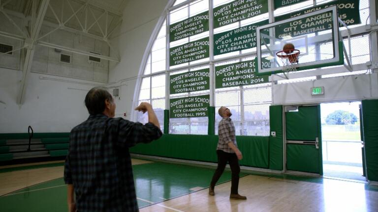
How Basketball Helped Revitalize the Yellow Brotherhood
4:39
Nick Nagatani shoots hoops and reflects on his history with the Yellow Brotherhood
Nathan Masters sits at a lab table amongst small prehistoric skeleton models and scientific tools. He's wearing a white lab gown and blue rubber gloves. Behind him are three other people, two of whom are wearing white lab gowns as well.
Mark your calendars for an all new season of "Lost LA," premiering Sat, March 19 at 9 p.m. on KCET.
Drawings of Lowe Planet Airship from the 1910 booklet "The Latest Development in Aerial Navigation"
In the late 1800s, Thaddeus Sobieski Constantine Lowe dreamed of a luxury airship that would conquer the skies. But what Lowe had in ambition he lacked in financial investment.
An archival black and white photo of a San Gabriel Timberland Reserve ranger sitting atop a mule. He's wearing a collared long sleeve shirt and a wide-brim hat. The insignia on his collar reads, "S.G.R.," which stands for San Gabriel Reserve. The ranger and the mule stand among trees.
In the late 1800s, logging and grazing in the San Gabriel Mountains threatened the irrigation-based societies in the valley. President Harrison had a solution. Reserving 555,520 acres of the San Gabriel Mountains, effectively creating Angeles National Forest.
An archival black-and-white photo of a man kneeled with his hand on a vintage car.
At the height of World War II, Southern Californians navigated nights in complete darkness as defense authorities imposed severe dimout restrictions on the region, ordering residents to turn of all lights that could be seen from sea at night.
Active loading indicator