Nathan Masters

Nathan Masters (2018)

Nathan Masters is host and executive producer of Lost L.A., an Emmy Award-winning public television series from KCET and the USC Libraries. The show explores how rare artifacts from Southern California's archives can unlock hidden and often-surprising stories from the region's past. Nathan’s writing has appeared in many publications, including Los Angeles Magazine and the Los Angeles Times. He also helps manage public programs and media initiatives at the USC Libraries, home to the L.A. as Subjectresearch consortium.

Nathan Masters (2018)
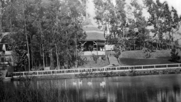
For a few short years, privately owned Second Street Park was once of Los Angeles' most popular outdoor retreats. Circa 1890 photo courtesy of the USC Libraries - California Historical Society Collection.
A popular outdoor retreat in the 1880s, Second Street Park became a casualty of industrial progress when L.A.'s first oil boom gripped the city in 1892. Today, not a trace of it remains.
Detail of an 1877 lithograph commissioned by the Brooklyn Land and Building Company and advertising Brooklyn Heights' empty lots. Prospect Park appears in the foreground. Behind it, across the river, is central Los Angeles. Courtesy of the Big Map Blog.
In 1877, parts of Los Angeles' Eastside began to resemble New York's second borough -- in name, at least.
courtflight.jpg
Angels Flight is a remnant of an earlier age. Incline railways once climbed hillsides and conquered steep grades across Southern California.
Circa 1915 postcard of Eastlake Park, since renamed Lincoln Park. Courtesy of the Werner Von Boltenstern Postcard Collection, Department of Archives and Special Collections, Loyola Marymount University Library.
Located in present-day Lincoln Heights, Eastlake Park was once the crown jewel of L.A.'s public park system.
A ca. 1909 postcard of Westlake Park. Courtesy of the Werner Von Boltenstern Postcard Collection, Department of Archives and Special Collections, Loyola Marymount University Library.
When Los Angeles created Westlake Park in 1886, the site's use as a neighborhood dump had marred the beauty of its naturally occurring lake.
MacArthur Park, then named Westlake Park, circa 1892. Courtesy of the Title Insurance and Trust, and C.C. Pierce Photography Collection, USC Libraries.
Many of the city's earliest parks were created out of marshes, hills, and other lands then considered worthless.
Arch Rock and Castle Rock along the present-day route of Pacific Coast Highway. Images courtesy of the Pacific Palisades Historical Society Collection and Santa Monica Image Archives, Santa Monica Public Library.
Castle Rock and Arch Rock once stood sentinel along the shore between Topanga Canyon and Santa Monica.
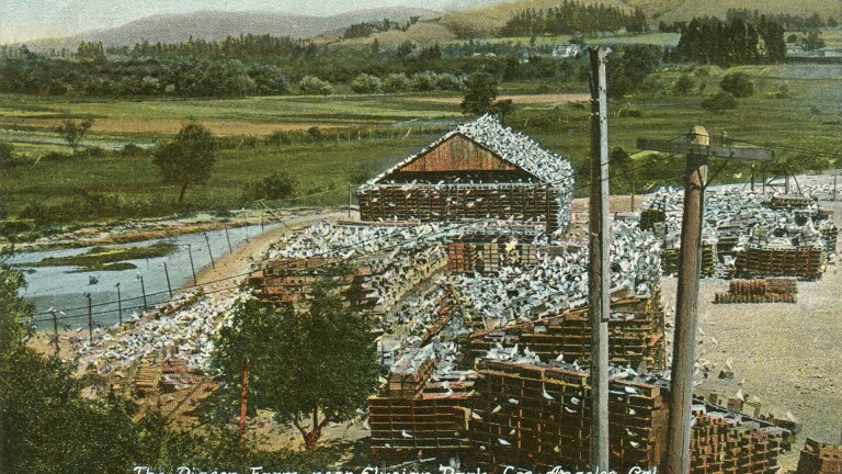
Pigeon Farm postcard
They lived at a pigeon ranch on the banks of the Los Angeles River until a flood destroyed their home in 1914.
Tourists pick wildflowers in an Altadena poppy field, 1907. Courtesy of the David Klappholz Collection.
A century ago, Angelenos didn't have to travel far to see some spectacular wildflower shows.
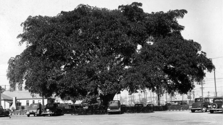
Andrew Cooper planted this Moreton Bay fig tree in Los Angeles in 1876. By the time of this 1946 photo, the spreading giant was surrounded bya parking lot for a Shell Oil facility.
Spreading giants imported from Australia, Moreton Bay fig trees have become a cherished part of Southern California's arboreal heritage.
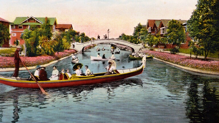
venice_canal_header.jpg
The seven original canals of Venice, California, are lost to history – long ago filled in, paved over, and converted into residential streets.
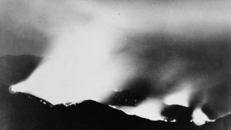
The San Gabriel Mountains on fire in 1924. Courtesy of the Title Insurance and Trust, and C.C. Pierce Photography Collection, USC Libraries.
When Spanish explorers first visited the Los Angeles shore in 1542, they named the area the "Bay of the Smoke."
Active loading indicator