Back to Show
Overview
Earth’s History Is Hidden in These Strange Maps
Season 2
Episode 2
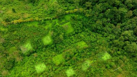
The Channeled Scablands of the Pacific Northwest hide an astonishing secret. Evidence of a massive flood that shaped the entire region lies just beneath its landscape. But it can only be seen with cutting edge LIDAR technology. Join Joe as he learns how scientists are using lasers to reveal details that may help us predict the paths of potential megafloods of the future.
Support Provided By

8:24
To prevent avalanches, you have to do something counterintuitive — you have to start them.

9:46
Traffic is a problem we need to finally solve, and automated vehicles might help us do it.

7:46
It’s one long mile of towering ice cliffs and it’s all human-made. How do they build it?

7:49
Dive into the beauty and physics of drones with an FPV pilot.

8:28
Bison could be the key to saving America’s lost prairie.

7:19
Who made this mysterious collection of rock paintings carved into the earth?

8:00
Red River Gorge is a haven for rare species and a place of many surprises.

7:13
What causes that brilliant fall color show that people adore?

7:25
How can we respect these horses and keep them wild while protecting the islands?

7:51
Are real-life fire lookouts becoming obsolete with modern technology?

6:53
The hazy blue was disappearing from the horizon, but it wasn’t just the trees' fault.


